
Thank you for supporting this site ❤️
Make a donation
Make a donation
Tall Timber topographic map
Click on the map to display elevation.
Thank you for supporting this site ❤️
Make a donation
Make a donation
About this map
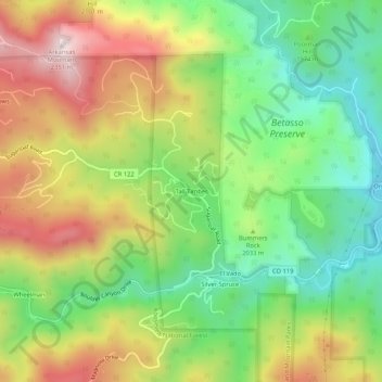
Name: Tall Timber topographic map, elevation, terrain.
Location: Tall Timber, Boulder County, Colorado, United States (39.99443 -105.37166 40.03443 -105.33166)
Average elevation: 2,010 m
Minimum elevation: 1,754 m
Maximum elevation: 2,344 m
Thank you for supporting this site ❤️
Make a donation
Make a donation