
Thank you for supporting this site ❤️
Make a donation
Make a donation
Yanıkses topographic map
Click on the map to display elevation.
Thank you for supporting this site ❤️
Make a donation
Make a donation
About this map
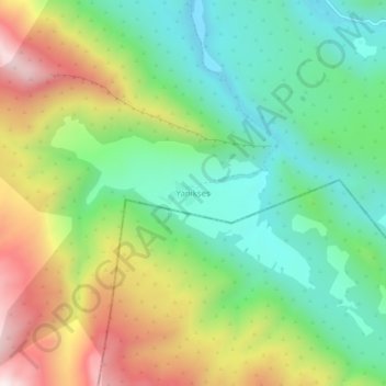
Name: Yanıkses topographic map, elevation, terrain.
Location: Yanıkses, Eruh, Siirt, Southeastern Anatolia Region, Turkey (37.69043 42.35143 37.73043 42.39143)
Average elevation: 1,566 m
Minimum elevation: 1,269 m
Maximum elevation: 2,058 m
Thank you for supporting this site ❤️
Make a donation
Make a donation