
Chanquil topographic map
Click on the map to display elevation.
About this map
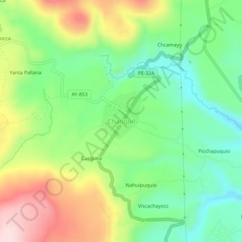
Name: Chanquil topographic map, elevation, terrain.
Location: Chanquil, Los Morochucos, Cangallo, Ayacucho, Perú (-13.48145 -74.22918 -13.44145 -74.18918)
Average elevation: 3,640 m
Minimum elevation: 3,512 m
Maximum elevation: 3,839 m