
1300 topographic map
Interactive map
Click on the map to display elevation.
About this map
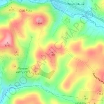
Name: 1300 topographic map, elevation, terrain.
Average elevation: 342 m
Minimum elevation: 277 m
Maximum elevation: 410 m
Other topographic maps
Click on a map to view its topography, its elevation and its terrain.
1370
États-Unis d'Amérique > Pennsylvanie > Westmoreland County > Murrysville
1370, Murrysville, Westmoreland County, Pennsylvanie, 15668, États-Unis d'Amérique
Average elevation: 348 m