
Thank you for supporting this site ❤️
Make a donation
Make a donation
Lake Sarasota topographic map
Click on the map to display elevation.
Thank you for supporting this site ❤️
Make a donation
Make a donation
About this map
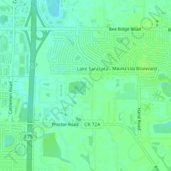
Name: Lake Sarasota topographic map, elevation, terrain.
Location: Lake Sarasota, Sarasota County, Florida, United States (27.28085 -82.44851 27.29881 -82.42212)
Average elevation: 12 m
Minimum elevation: 6 m
Maximum elevation: 16 m
Thank you for supporting this site ❤️
Make a donation
Make a donation