
Lama Mayo topographic map
Interactive map
Click on the map to display elevation.
About this map
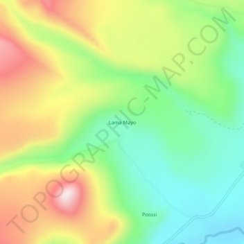
Name: Lama Mayo topographic map, elevation, terrain.
Location: Lama Mayo, Caylloma, Arequipa, Pérou (-15.20489 -71.81849 -15.16489 -71.77849)
Average elevation: 4,502 m
Minimum elevation: 4,290 m
Maximum elevation: 4,801 m