
Port Rowan topographic map
Click on the map to display elevation.
About this map
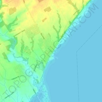
Name: Port Rowan topographic map, elevation, terrain.
Location: Port Rowan, Norfolk County, Ontario, N0E 1M0, Canada (42.60361 -80.47018 42.64361 -80.43018)
Average elevation: 182 m
Minimum elevation: 172 m
Maximum elevation: 203 m