
Wieżyca topographic map
Interactive map
Click on the map to display elevation.
About this map
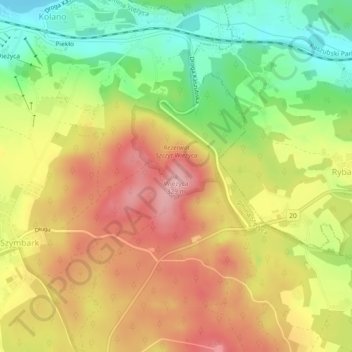
Name: Wieżyca topographic map, elevation, terrain.
Average elevation: 247 m
Minimum elevation: 162 m
Maximum elevation: 325 m
Wieżyca (Kashubian Wieżëca, German Turmberg) is a hill located in northern Poland, in the historical region of Kashubia, some 40 kilometers southwest of Gdańsk. With elevation of 329 metres above sea level, it is the highest peak of central and northern Poland. Its top is covered by a forest, and the hill was the object of pagan cult of ancient Slavs. Wieżyca is a popular tourist area, with a ski lift and a ski slope.