
Kaduru topographic map
Click on the map to display elevation.
Kaduru
Kadur is located in the eastern part of Chikmagalur district, which has a semi-arid climate. Its elevation is around 760 metres above the mean sea level. It has a dry climate with annual rainfall less than 750 millimetres (30 in).
About this map
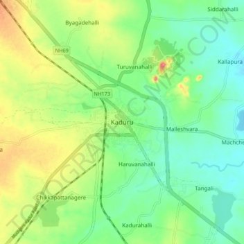
Name: Kaduru topographic map, elevation, terrain.
Average elevation: 765 m
Minimum elevation: 733 m
Maximum elevation: 822 m