
Thank you for supporting this site ❤️
Make a donation
Make a donation
Monte Sulder topographic map
Click on the map to display elevation.
Thank you for supporting this site ❤️
Make a donation
Make a donation
About this map
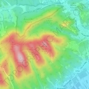
Name: Monte Sulder topographic map, elevation, terrain.
Location: Monte Sulder, Cornuda, Fonte, Treviso, Veneto, 31041, Italia (45.83091 11.97948 45.83101 11.97958)
Average elevation: 266 m
Minimum elevation: 139 m
Maximum elevation: 475 m
Thank you for supporting this site ❤️
Make a donation
Make a donation