
Thank you for supporting this site ❤️
Make a donation
Make a donation
Kirkofer Lake Dam topographic map
Click on the map to display elevation.
Thank you for supporting this site ❤️
Make a donation
Make a donation
About this map
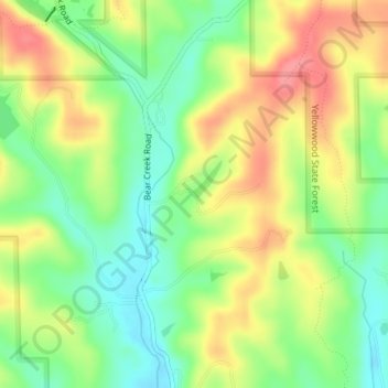
Name: Kirkofer Lake Dam topographic map, elevation, terrain.
Location: Kirkofer Lake Dam, Brown County, Indiana, United States (39.29846 -86.34134 39.29856 -86.34124)
Average elevation: 241 m
Minimum elevation: 202 m
Maximum elevation: 285 m
Thank you for supporting this site ❤️
Make a donation
Make a donation