
Unterpinswang topographic map
Interactive map
Click on the map to display elevation.
About this map
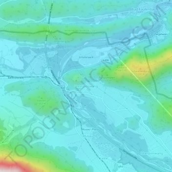
Name: Unterpinswang topographic map, elevation, terrain.
Location: Unterpinswang, Pinswang, Bezirk Reutte, 6682, Österreich (47.52647 10.65020 47.56647 10.69020)
Average elevation: 876 m
Minimum elevation: 789 m
Maximum elevation: 1,464 m