
Thank you for supporting this site ❤️
Make a donation
Make a donation
Mud Springs topographic map
Click on the map to display elevation.
Thank you for supporting this site ❤️
Make a donation
Make a donation
About this map
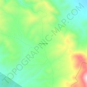
Name: Mud Springs topographic map, elevation, terrain.
Location: Mud Springs, Lincoln County, Nevada, United States (38.25996 -114.15554 38.29996 -114.11554)
Average elevation: 2,206 m
Minimum elevation: 2,014 m
Maximum elevation: 2,564 m
Thank you for supporting this site ❤️
Make a donation
Make a donation