
Alger topographic map
Click on the map to display elevation.
About this map
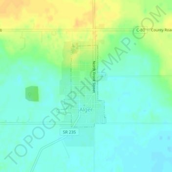
Name: Alger topographic map, elevation, terrain.
Location: Alger, Marion Township, Hardin County, Ohio, United States (40.70338 -83.84996 40.71625 -83.83969)
Average elevation: 304 m
Minimum elevation: 293 m
Maximum elevation: 321 m