
Jagna topographic map
Click on the map to display elevation.
About this map
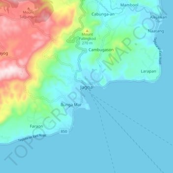
Name: Jagna topographic map, elevation, terrain.
Location: Jagna, Bohol, Central Visayas, 6308, Philippines (9.61019 124.32616 9.69019 124.40616)
Average elevation: 99 m
Minimum elevation: -1 m
Maximum elevation: 514 m