
Thank you for supporting this site ❤️
Make a donation
Make a donation
Kaina topographic map
Click on the map to display elevation.
Thank you for supporting this site ❤️
Make a donation
Make a donation
About this map
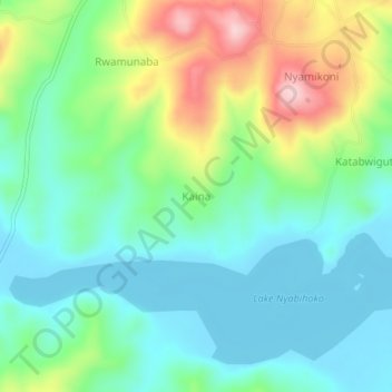
Name: Kaina topographic map, elevation, terrain.
Location: Kaina, Ntungamo, Western Region, Uganda (-0.91603 30.10261 -0.87603 30.14261)
Average elevation: 1,435 m
Minimum elevation: 1,367 m
Maximum elevation: 1,592 m
Thank you for supporting this site ❤️
Make a donation
Make a donation