
Thank you for supporting this site ❤️
Make a donation
Make a donation
Luis Negreiros Vega topographic map
Click on the map to display elevation.
Thank you for supporting this site ❤️
Make a donation
Make a donation
About this map
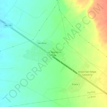
Name: Luis Negreiros Vega topographic map, elevation, terrain.
Location: Luis Negreiros Vega, Talara, Pariñas, Talara, Piura, Perú (-4.60310 -81.20782 -4.56310 -81.16782)
Average elevation: 109 m
Minimum elevation: 91 m
Maximum elevation: 136 m
Thank you for supporting this site ❤️
Make a donation
Make a donation