
Thank you for supporting this site ❤️
Make a donation
Make a donation
Ilgaz Dağı topographic map
Click on the map to display elevation.
Thank you for supporting this site ❤️
Make a donation
Make a donation
About this map
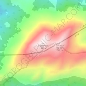
Name: Ilgaz Dağı topographic map, elevation, terrain.
Location: Ilgaz Dağı, Kastamonu, Black Sea Region, Turkey (41.08084 33.81266 41.08094 33.81276)
Average elevation: 2,162 m
Minimum elevation: 1,787 m
Maximum elevation: 2,548 m
Thank you for supporting this site ❤️
Make a donation
Make a donation