
Thank you for supporting this site ❤️
Make a donation
Make a donation
Karlovo topographic map
Click on the map to display elevation.
Thank you for supporting this site ❤️
Make a donation
Make a donation
About this map
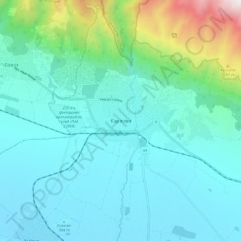
Name: Karlovo topographic map, elevation, terrain.
Location: Karlovo, Plovdiv, 4300, Bulgaria (42.59582 24.76482 42.67582 24.84482)
Average elevation: 608 m
Minimum elevation: 322 m
Maximum elevation: 1,995 m
Thank you for supporting this site ❤️
Make a donation
Make a donation
Other topographic maps
Click on a map to view its topography, its elevation and its terrain.
Thank you for supporting this site ❤️
Make a donation
Make a donation