
Thank you for supporting this site ❤️
Make a donation
Make a donation
A Rega topographic map
Click on the map to display elevation.
Thank you for supporting this site ❤️
Make a donation
Make a donation
About this map
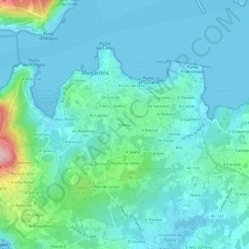
Name: A Rega topographic map, elevation, terrain.
Location: A Rega, Mugardos, Ferrol, La Coruña, Galicia, 15620, España (43.43344 -8.27054 43.47344 -8.23054)
Average elevation: 33 m
Minimum elevation: -1 m
Maximum elevation: 204 m
Thank you for supporting this site ❤️
Make a donation
Make a donation
Other topographic maps
Click on a map to view its topography, its elevation and its terrain.