
Thank you for supporting this site ❤️
Make a donation
Make a donation
Peist topographic map
Click on the map to display elevation.
Thank you for supporting this site ❤️
Make a donation
Make a donation
About this map
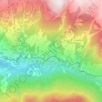
Name: Peist topographic map, elevation, terrain.
Location: Peist, Arosa, Plessur, Graubünden, 7029, Schweiz (46.81278 9.65369 46.85278 9.69369)
Average elevation: 1,520 m
Minimum elevation: 1,007 m
Maximum elevation: 2,079 m
Thank you for supporting this site ❤️
Make a donation
Make a donation