
Thank you for supporting this site ❤️
Make a donation
Make a donation
Norddal topographic map
Click on the map to display elevation.
Thank you for supporting this site ❤️
Make a donation
Make a donation
About this map
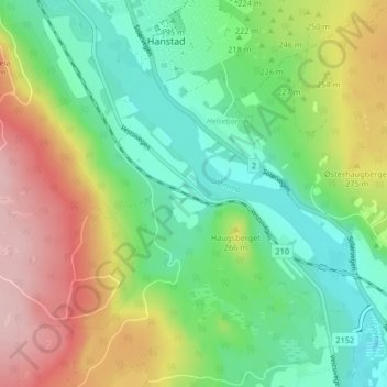
Name: Norddal topographic map, elevation, terrain.
Location: Norddal, Elverum, Innlandet, 2407, Norway (60.82480 11.55652 60.86480 11.59652)
Average elevation: 230 m
Minimum elevation: 160 m
Maximum elevation: 346 m
Thank you for supporting this site ❤️
Make a donation
Make a donation