
Thank you for supporting this site ❤️
Make a donation
Make a donation
Loktanah topographic map
Click on the map to display elevation.
Thank you for supporting this site ❤️
Make a donation
Make a donation
About this map
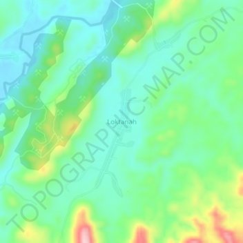
Name: Loktanah topographic map, elevation, terrain.
Location: Loktanah, Banjar, South Kalimantan, Kalimantan, Indonesia (-3.12374 115.20196 -3.08374 115.24196)
Average elevation: 100 m
Minimum elevation: 42 m
Maximum elevation: 249 m
Thank you for supporting this site ❤️
Make a donation
Make a donation
Other topographic maps
Click on a map to view its topography, its elevation and its terrain.