
Thank you for supporting this site ❤️
Make a donation
Make a donation
Favarella topographic map
Click on the map to display elevation.
Thank you for supporting this site ❤️
Make a donation
Make a donation
About this map
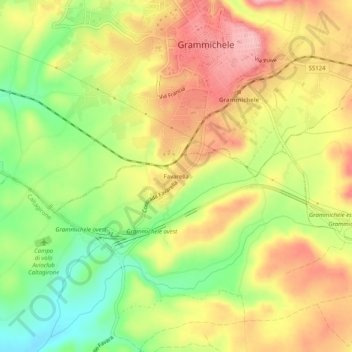
Name: Favarella topographic map, elevation, terrain.
Location: Favarella, Caltagirone, Catania, Sicilia, 95041, Italia (37.17967 14.61225 37.21967 14.65225)
Average elevation: 470 m
Minimum elevation: 391 m
Maximum elevation: 541 m
Thank you for supporting this site ❤️
Make a donation
Make a donation
Other topographic maps
Click on a map to view its topography, its elevation and its terrain.
Riserva naturale orientata Bosco di Santo Pietro
Italia > Sicilia > Catania > Caltagirone
Average elevation: 197 m