
Thank you for supporting this site ❤️
Make a donation
Make a donation
Kelageri topographic map
Click on the map to display elevation.
Thank you for supporting this site ❤️
Make a donation
Make a donation
About this map
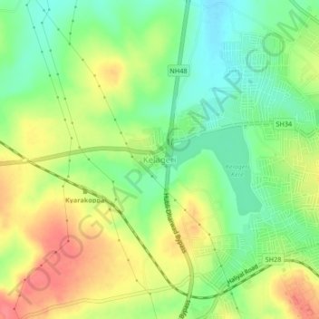
Name: Kelageri topographic map, elevation, terrain.
Location: Kelageri, Dharawada taluku, Dharwad, Karnataka, 580110, India (15.43915 74.94555 15.47915 74.98555)
Average elevation: 714 m
Minimum elevation: 682 m
Maximum elevation: 751 m
Thank you for supporting this site ❤️
Make a donation
Make a donation