
Thank you for supporting this site ❤️
Make a donation
Make a donation
South Haven topographic map
Click on the map to display elevation.
Thank you for supporting this site ❤️
Make a donation
Make a donation
About this map
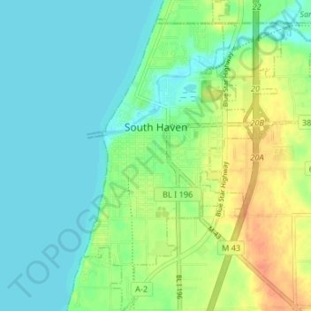
Name: South Haven topographic map, elevation, terrain.
Location: South Haven, Van Buren County, Michigan, United States (42.37428 -86.28925 42.42294 -86.23982)
Average elevation: 187 m
Minimum elevation: 174 m
Maximum elevation: 212 m
Thank you for supporting this site ❤️
Make a donation
Make a donation