
Nkolondom topographic map
Interactive map
Click on the map to display elevation.
About this map
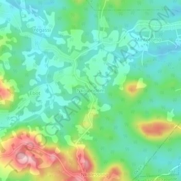
Name: Nkolondom topographic map, elevation, terrain.
Location: Nkolondom, Okala, Lekié, Région du Centre, Cameroun (3.96254 11.46075 4.00254 11.50075)
Average elevation: 737 m
Minimum elevation: 667 m
Maximum elevation: 906 m