
Make a donation
Guymon topographic map
Click on the map to display elevation.
Make a donation
Guymon
Located on the High Plains of the central Oklahoma Panhandle, Guymon sits 122 miles (196 km) north of Amarillo, Texas, and 120 miles (193 km) west-northwest of Woodward. Optima National Wildlife Refuge, Optima Lake, and the state-run Optima Wildlife Management Area lie roughly 16 miles (26 km) to the east along the North Canadian River. Guymon sits at an elevation of 3,124 feet (952 m). According to the United States Census Bureau, the city has a total area of 7.3 square miles (18.9 km2), of which 7.3 square miles (18.9 km2) are land and 0.04 square miles (0.1 km2) (0.27%) is covered by water.
Make a donation
About this map
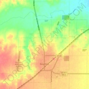
Name: Guymon topographic map, elevation, terrain.
Location: Guymon, Texas County, Oklahoma, United States (36.66773 -101.51009 36.72926 -101.42046)
Average elevation: 933 m
Minimum elevation: 895 m
Maximum elevation: 969 m
Make a donation
Other topographic maps
Click on a map to view its topography, its elevation and its terrain.