
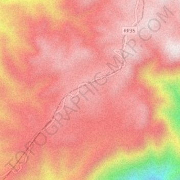
Sierra de Pie de Palo topographic map
Interactive map
Click on the map to display elevation.
About this map
Name: Sierra de Pie de Palo topographic map, elevation, terrain.
Location: Sierra de Pie de Palo, Caucete, San Juan, Argentina (-31.35005 -67.94105 -31.34995 -67.94095)
Average elevation: 2,936 m
Minimum elevation: 2,472 m
Maximum elevation: 3,090 m
Other topographic maps
Click on a map to view its topography, its elevation and its terrain.
Ischigualasto Provincial Park
Most of the park lies within the Valle Fértil Department, with a minor part in the Jachal Department of San Juan, at an altitude of about 1,300 m (4,300 ft) amsl. The park is part of the western border of the Central Sierras, and it features typical desert vegetation (bushes, cacti and some trees) which…
Average elevation: 1,258 m