
Montegiove topographic map
Click on the map to display elevation.
About this map
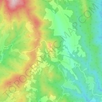
Name: Montegiove topographic map, elevation, terrain.
Location: Montegiove, Montegabbione, Terni, Umbria, 05010, Italia (42.89562 12.12447 42.93562 12.16447)
Average elevation: 510 m
Minimum elevation: 361 m
Maximum elevation: 746 m