
Fundado topographic map
Click on the map to display elevation.
About this map
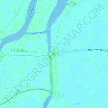
Name: Fundado topographic map, elevation, terrain.
Location: Fundado, Canaman, Camarines Sur, Bicol Region, Philippines (13.64420 123.09278 13.68420 123.13278)
Average elevation: 2 m
Minimum elevation: -4 m
Maximum elevation: 6 m