
Thank you for supporting this site ❤️
Make a donation
Make a donation
Platte City topographic map
Click on the map to display elevation.
Thank you for supporting this site ❤️
Make a donation
Make a donation
About this map
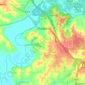
Name: Platte City topographic map, elevation, terrain.
Location: Platte City, Platte County, Missouri, 64079, United States (39.33916 -94.80335 39.37738 -94.73344)
Average elevation: 261 m
Minimum elevation: 230 m
Maximum elevation: 309 m
Thank you for supporting this site ❤️
Make a donation
Make a donation
Other topographic maps
Click on a map to view its topography, its elevation and its terrain.