
Thank you for supporting this site ❤️
Make a donation
Make a donation
Les Boemes topographic map
Click on the map to display elevation.
Thank you for supporting this site ❤️
Make a donation
Make a donation
About this map
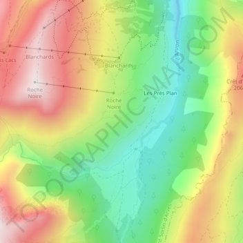
Name: Les Boemes topographic map, elevation, terrain.
Average elevation: 1,850 m
Minimum elevation: 1,526 m
Maximum elevation: 2,222 m
Thank you for supporting this site ❤️
Make a donation
Make a donation
Other topographic maps
Click on a map to view its topography, its elevation and its terrain.
Glacier de Saint-Sorlin
France > Auvergne-Rhône-Alpes > Savoie > Saint-Sorlin-d'Arves
Average elevation: 2,912 m
Refuge de l'Étendard
France > Auvergne-Rhône-Alpes > Savoie > Saint-Sorlin-d'Arves
Average elevation: 2,437 m
Thank you for supporting this site ❤️
Make a donation
Make a donation