Pech d'Aspe topographic map
Click on the map to display elevation.
About this map
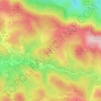
Name: Pech d'Aspe topographic map, elevation, terrain.
Average elevation: 349 m
Minimum elevation: 184 m
Maximum elevation: 475 m

Click on the map to display elevation.
Name: Pech d'Aspe topographic map, elevation, terrain.
Average elevation: 349 m
Minimum elevation: 184 m
Maximum elevation: 475 m