
Thank you for supporting this site ❤️
Make a donation
Make a donation
Bcharre topographic map
Click on the map to display elevation.
Thank you for supporting this site ❤️
Make a donation
Make a donation
About this map
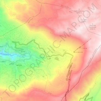
Name: Bcharre topographic map, elevation, terrain.
Location: Bcharre, Bsharri District, North Governorate, 1377, Lebanon (34.20633 35.98722 34.29619 36.10278)
Average elevation: 2,200 m
Minimum elevation: 1,021 m
Maximum elevation: 3,036 m
Thank you for supporting this site ❤️
Make a donation
Make a donation