
Sorioan topographic map
Click on the map to display elevation.
About this map
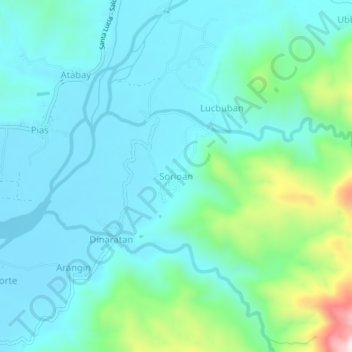
Name: Sorioan topographic map, elevation, terrain.
Location: Sorioan, Salcedo, Ilocos Sur, Ilocos Region, Philippines (17.10241 120.51711 17.14241 120.55711)
Average elevation: 119 m
Minimum elevation: 23 m
Maximum elevation: 530 m