
Tijarafe topographic map
Interactive map
Click on the map to display elevation.
About this map
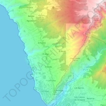
Name: Tijarafe topographic map, elevation, terrain.
Location: Tijarafe, Santa Cruz de Tenerife, Kanarische Inseln, Spanien (28.65041 -17.99211 28.75095 -17.89657)
Average elevation: 539 m
Minimum elevation: 0 m
Maximum elevation: 2,276 m