
Thank you for supporting this site ❤️
Make a donation
Make a donation
Ahlat topographic map
Click on the map to display elevation.
Thank you for supporting this site ❤️
Make a donation
Make a donation
About this map
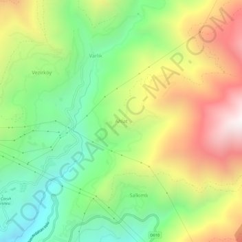
Name: Ahlat topographic map, elevation, terrain.
Location: Ahlat, Artvin, Black Sea Region, Turkey (41.18996 41.85453 41.22996 41.89453)
Average elevation: 929 m
Minimum elevation: 328 m
Maximum elevation: 1,747 m
Thank you for supporting this site ❤️
Make a donation
Make a donation