
Thank you for supporting this site ❤️
Make a donation
Make a donation
Pathivayal topographic map
Click on the map to display elevation.
Thank you for supporting this site ❤️
Make a donation
Make a donation
About this map
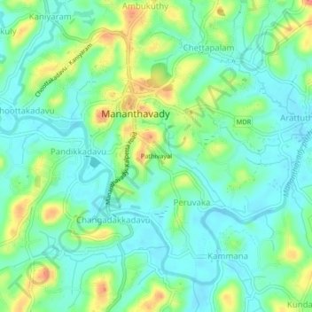
Name: Pathivayal topographic map, elevation, terrain.
Location: Pathivayal, Mananthavady, Wayanad, Kerala, 670605, India (11.77559 75.98839 11.81559 76.02839)
Average elevation: 736 m
Minimum elevation: 714 m
Maximum elevation: 783 m
Thank you for supporting this site ❤️
Make a donation
Make a donation