
Thank you for supporting this site ❤️
Make a donation
Make a donation
Ferndale topographic map
Click on the map to display elevation.
Thank you for supporting this site ❤️
Make a donation
Make a donation
About this map
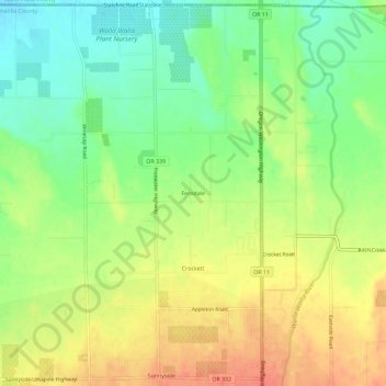
Name: Ferndale topographic map, elevation, terrain.
Location: Ferndale, Umatilla County, Oregon, 97862, United States (45.96125 -118.41747 46.00125 -118.37747)
Average elevation: 256 m
Minimum elevation: 228 m
Maximum elevation: 285 m
Thank you for supporting this site ❤️
Make a donation
Make a donation
Other topographic maps
Click on a map to view its topography, its elevation and its terrain.