
Bulaan topographic map
Click on the map to display elevation.
About this map
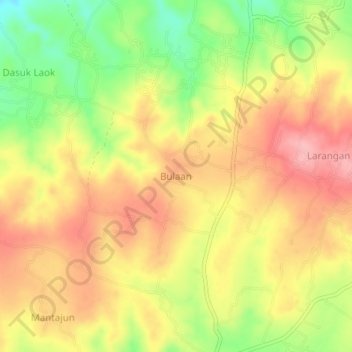
Name: Bulaan topographic map, elevation, terrain.
Location: Bulaan, Sumenep, East Java, Java, Indonesia (-6.92908 113.84323 -6.88908 113.88323)
Average elevation: 124 m
Minimum elevation: 53 m
Maximum elevation: 177 m