
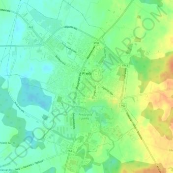
Preiļi topographic map
Interactive map
Click on the map to display elevation.
About this map
Name: Preiļi topographic map, elevation, terrain.
Location: Preiļi, Preiļu novads, Latgale, LV-5301, Latvia (56.27525 26.70017 56.30713 26.74368)
Average elevation: 131 m
Minimum elevation: 116 m
Maximum elevation: 154 m
Other topographic maps
Click on a map to view its topography, its elevation and its terrain.