
Buskerud topographic map
Interactive map
Click on the map to display elevation.
About this map
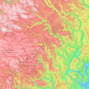
Name: Buskerud topographic map, elevation, terrain.
Location: Buskerud, Noruega (59.40787 7.43884 61.09172 10.63499)
Average elevation: 791 m
Minimum elevation: -3 m
Maximum elevation: 1,914 m