
Burrator topographic map
Click on the map to display elevation.
About this map
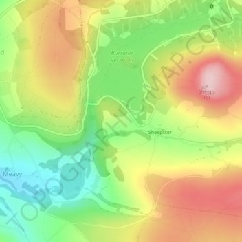
Name: Burrator topographic map, elevation, terrain.
Average elevation: 244 m
Minimum elevation: 135 m
Maximum elevation: 361 m
Other topographic maps
Click on a map to view its topography, its elevation and its terrain.
Burrator Reservoir
United Kingdom > England > Devon > West Devon > Meavy > Sheepstor
Average elevation: 255 m