
Thank you for supporting this site ❤️
Make a donation
Make a donation
Snake Creek topographic map
Click on the map to display elevation.
Thank you for supporting this site ❤️
Make a donation
Make a donation
About this map
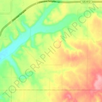
Name: Snake Creek topographic map, elevation, terrain.
Location: Snake Creek, Mayes County, Oklahoma, United States (36.16152 -95.13647 36.20619 -95.06455)
Average elevation: 282 m
Minimum elevation: 219 m
Maximum elevation: 349 m
Thank you for supporting this site ❤️
Make a donation
Make a donation
Other topographic maps
Click on a map to view its topography, its elevation and its terrain.