
Thank you for supporting this site ❤️
Make a donation
Make a donation
Lacey topographic map
Click on the map to display elevation.
Thank you for supporting this site ❤️
Make a donation
Make a donation
About this map
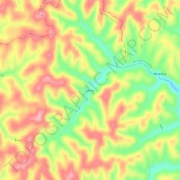
Name: Lacey topographic map, elevation, terrain.
Location: Lacey, Magoffin County, Kentucky, United States (37.83981 -83.05156 37.87981 -83.01156)
Average elevation: 318 m
Minimum elevation: 233 m
Maximum elevation: 387 m
Thank you for supporting this site ❤️
Make a donation
Make a donation