
Thank you for supporting this site ❤️
Make a donation
Make a donation
San Gregorio topographic map
Click on the map to display elevation.
Thank you for supporting this site ❤️
Make a donation
Make a donation
About this map
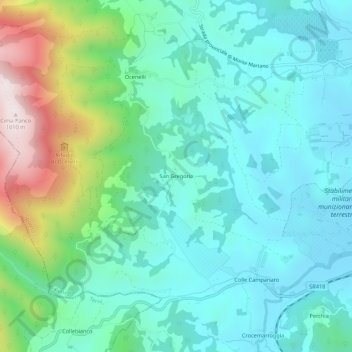
Name: San Gregorio topographic map, elevation, terrain.
Location: San Gregorio, Spoleto, Perugia, Umbria, 06049, Italy (42.71426 12.60956 42.75426 12.64956)
Average elevation: 484 m
Minimum elevation: 322 m
Maximum elevation: 1,006 m
Thank you for supporting this site ❤️
Make a donation
Make a donation