
Thank you for supporting this site ❤️
Make a donation
Make a donation
Grand Haven topographic map
Click on the map to display elevation.
Thank you for supporting this site ❤️
Make a donation
Make a donation
About this map
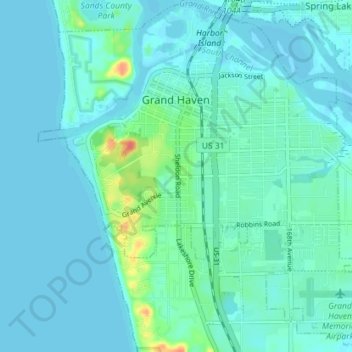
Name: Grand Haven topographic map, elevation, terrain.
Location: Grand Haven, Ottawa County, Michigan, United States (43.02605 -86.25627 43.07753 -86.18520)
Average elevation: 182 m
Minimum elevation: 175 m
Maximum elevation: 224 m
Thank you for supporting this site ❤️
Make a donation
Make a donation
Other topographic maps
Click on a map to view its topography, its elevation and its terrain.
Thank you for supporting this site ❤️
Make a donation
Make a donation
Thank you for supporting this site ❤️
Make a donation
Make a donation