
Thank you for supporting this site ❤️
Make a donation
Make a donation
Oxford topographic map
Click on the map to display elevation.
Thank you for supporting this site ❤️
Make a donation
Make a donation
About this map
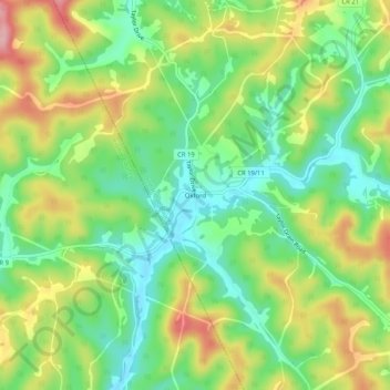
Name: Oxford topographic map, elevation, terrain.
Location: Oxford, Doddridge County, West Virginia, United States (39.18564 -80.88483 39.22564 -80.84483)
Average elevation: 305 m
Minimum elevation: 238 m
Maximum elevation: 403 m
Thank you for supporting this site ❤️
Make a donation
Make a donation
Other topographic maps
Click on a map to view its topography, its elevation and its terrain.