
Thank you for supporting this site ❤️
Make a donation
Make a donation
Choctaw topographic map
Click on the map to display elevation.
Thank you for supporting this site ❤️
Make a donation
Make a donation
About this map
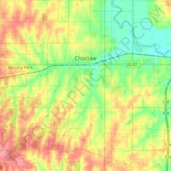
Name: Choctaw topographic map, elevation, terrain.
Location: Choctaw, Oklahoma County, Oklahoma, United States (35.42128 -97.33561 35.53668 -97.22092)
Average elevation: 362 m
Minimum elevation: 326 m
Maximum elevation: 403 m
Thank you for supporting this site ❤️
Make a donation
Make a donation
Other topographic maps
Click on a map to view its topography, its elevation and its terrain.